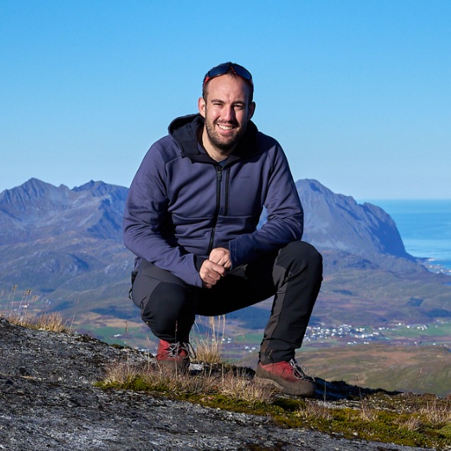
Xabier Blanch Gorriz
Assistant Professor at Polytechnic University of Catalonia – UPC
Xabier’s research focuses on the monitoring of natural hazards such as rockfalls, landslides, glacier calving, and flood events using photogrammetric systems and advanced computer vision strategies. He currently holds a position as Assistant Professor at the Polytechnic University of Catalonia (UPC). Previously, he held a postdoctoral position in the Geosensor Systems Group at TU Dresden and collaborated with the RISKNAT group at the University of Barcelona.
His research interests range from the development of photogrammetric systems for automated rockfall and glacier calving monitoring (explored in his PhD Thesis) to the development of Deep Learning based strategies for metric image processing (main focus of his PostDoc).
His research is multidisciplinary and combines, on the one hand, his engineering and programming skills and, on the other hand, his extensive knowledge of the natural hazards analyzed. This combination allows him to develop advanced surveillance systems and AI workflows for accurate geohazards monitoring.
Interests
- Natural Hazards
- Environmental Monitoring
- Digital Photogrammetry
- Image Based Monitoring
- Machine Learning
- Deep Learning
- Geosensors Solutions
Education
- PhD in Earth Sciences, 2022 University of Barcelona
- BSc in Geological Enginering, 2016 Universitat Politècnica de Catalunya
- MSc in Gelogical Hazards, 2015 University of Barcelona
- BSc in Techinical Surveying Engineer, 2014 Universitat Politècnica de Catalunya
SKILLS
Digital
Photogrammetry
Natural Hazards
Monitoring
Image based
Monitoring
Machine Learning
Deep Learning
SOFTWARE
& CODE

Python

MATLAB

Metashape

PyTorch
Tensor Flow
Publications & Resources
Active Projects
AI4GLACIERS: AI-Enabled Prediction of Glacial Calving based on 4D Real-Time Multi-Sensor Monitoring
Developing an innovative approach that combines multi-modal SfM-MVS with artificial intelligence algorithms, and multi-sensor data to achieve 4D (3D + time) monitoring of glacier calving with unprecedented spatial and temporal resolution. An accurate forecasting these events requires an in-depth understanding of the calving process, which will also lead to a better identification of factors that control its activity. This project aims to develop an approach for 4D multi-sensor monitoring by integrating methods from photogrammetry and artificial intelligence algorithms applied to multi-modal data.
KIWA – ARTIFICIAL INTELLIGENCE FOR FLOOD WARNING
The project aims are the development and demonstration of AI-based tools for flood warning and observation, in order to support disaster control and management to cope with large-scale emergencies caused by heavy rain and floods. These tools include data-driven rainfall-runoff models that emulate the behavior of the catchment areas and rainfall from different data sources (ensemble forecasts, short-range forecasts, etc.) for early runoff prediction and warning. Furthermore, AI-based algorithms are developed for image-based, robust quantification of water levels and flow velocities using cameras, which will allow for a remote and mobile operation. The AIs will be integrated into an operations command demonstrator. Through collaboration with associated partners from the field, the requirements for the AI-based demonstrator will be ascertained and its acceptance tested. The project is a joint project with the Chair of Hydrology at the TU Dresden and the Frauenhofer Institute.
GRANADA – ALHAMBRA | 4D ROCKFALL MONITORING
The monitoring network installed by researchers from the University of Barcelona (UB), the University of Leeds (UL) and the University of Granada (UG), within the offer signed with the Patronato de la Alhambra y Generalife in 2019, is composed of five data collection stations, which allow the capture of images at different times throughout the day. From these images, 3D models and point clouds are obtained through photogrammetric processes that allow, through the multi-temporal comparison of these data, the detection and study of the erosive processes that cause the retreat of the Tajo de San Pedro.
Research Projects
- 2021 – 2024 | Künstliche Intelligenz für die Hochwasserwarnung (KIWA) | Amount: 1.453.711 € (link)
- 2020 – 2021 | Vigilancia y seguimiento de la erosión en el tajo de San Pedro, Granada | Amount: 18.002 €
- 2020 – 2021 | Auscultació de massissos rocosos, mitjançant làser escàner terrestre TLS, a la muntanya de Montserrat i a Castellfollit de la Roca (any 2020) | Amount: 14.817 €
- 2019 – 2020 | Auscultació de massissos rocosos, mitjançant làser escàner terrestre TLS, a la muntanya de Montserrat i a Castellfollit de la Roca (any 2021) | Amount: 14.817 €
- 2018 – 2021 | Monitoreo, Modelización e Integración de métodos para el Control de Procesos Activos en Montañas (PROMONTEC) | Amount: 242.000 €
- 2021 – 2024 | Montaje e instalación de sistemas fotogramétricos para el estudio del retroceso del Tajo de San Pedro mediante técnicas 4D | Amount: 6.524 €
- 2018 – 2019 | Oferta per a la realització del treball sobre l’Auscultació del massisos rocosos, mitjançant làser escàner terrestre TLS, a la muntanya de Montserrat i a Castellfollit de la Roca (any 2018) | Amount: 14.207 €
- 2018 – 2019 | Aplicacions Inventari de despreniments de roques i deformacions premonitòries a la muntanya de Montserrat amb LiDAR Terrestre (TLS) (Any 2017) | Amount: 17.864 €
- 2014 – 2017 | Caracterización y Control de Movimientos de Masa. Un Reto para la mitigación del Riesgo Geológico (CHARMA) | Amount: 121.000 €
CONTACT INFORMATION:
Department of Civil and Environmental Engineering
Campus Diagonal Sud
EPSEB – Room 138
Doctor Marañon, 44-50
08028


